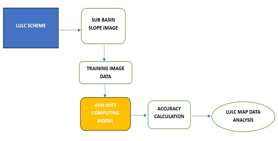
The land use and land cover patterns of a specific area determine the socio-economic development of that region and vice versa. The increase in population due to urbanization creates a demand for novel approaches in addressing the fundamental aspects of human well-being. Remote sensing, geographic information systems, and soft computing techniques are employed to assess the expansion patterns of urbanization and to facilitate the monitoring and prediction of future sprawl types. With advancements in image processing methods and the utilization of high-resolution satellites, an unparalleled opportunity emerges for conducting investigations into land use and land cover changes, offering reduced costs and faster results across various application areas. The Analytical Hierarchy Process stands out as the most effective method for assigning weights to different levels within a geographic information system, producing higher accuracy of 91.3% compared with other accuracy soft computing models in land coverage and land usage maps.
Total file downloads: 38