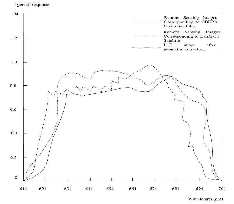
Because the traditional remote sensing image monitoring method has the problem of poor ability of capturing vegetation destruction, an ecological remote sensing image method for vegetation destruction in waterfront greenway based on genetic algorithm is proposed. The vegetation index data of waterfront greenway were acquired by remote sensing image, and the pseudo color image was synthesized. The on orbit radiometric calibration and geometric precision correction are carried out for the collected data, and the relationship between vegetation index and vegetation damage of waterfront greenway is analyzed, including meteorological factors, geographical factors and vegetation damage of waterfront greenway. Select the independent variables of the model, establish the ecological remote sensing image monitoring model of the vegetation damage of the waterfront greenway, and realize the ecological remote sensing image monitoring of the vegetation damage of the waterfront greenway. The experimental results show that the acquisition ability of the method based on genetic algorithm is better than that of the traditional method, and it is more suitable for the ecological remote sensing monitoring of the vegetation damage of waterfront greenway.
Total file downloads: 2