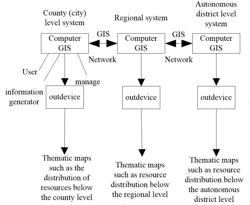
When studying the dynamic monitoring method of forest coverage based on GIS technology, a dynamic monitoring system of forest coverage based on GIS technology was constructed, and forest coverage was dynamically monitored by means of the system. The system constructs attribute database and spatial database through RS data and topographic map, GPS measured data and GIS data, transfers data from the two databases to the quality supervision module for real-time query, early warning and evaluation of decision-making data quality, and transfers data that meets the quality requirements to the method management module and model in the data management module. In the model management module method, the management module uses geometric precise correction method to enhance remote sensing image, classifies and enhances remote sensing image by maximum likelihood method, calculates forest coverage by model management module according to classified remote sensing image on the basis of the method module, transmits the calculation results to the result database, updates the dynamic monitoring results in real time, and monitors them. The result is transmitted to the output module for output. The experimental results show that the average energy consumption for dynamic monitoring of forest cover is 324.09 J, and the monitoring results are consistent with the statistical results of the actual statistical yearbook.
Total file downloads: 2