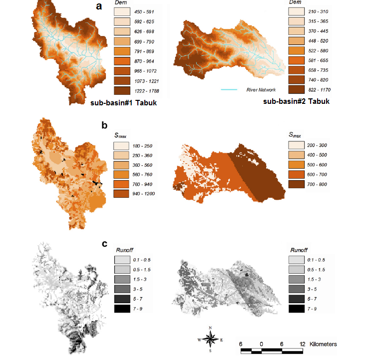
This study emphasis on draining and slowing runoff volumes in arid and semi-arid lands regions using HEC-HMS model linked with various Best Management Practices (BMPs) alternatives. The proposed methods may help significantly in reducing flash flood precipitation and improving instream water quality. It provides facilities to increase flood retention times and infiltration rates. Recently, flash flooding in arid lands is occurring on almost every two-year basis and is threatening human lives and damaging properties. Modern urbanization of the cities has great impacts on flooding schemes, it increases peak streamflows and it reduces the time to peak. Eventually, major cities experienced newly developed areas to accommodate the increase of population, and thus surface runoff volumes would increase substantially. In addition to outflows from surrounding high desert lands which form a significant portion of flash flood volumes. This study proposed a modern and progressive flash flood management scheme that would emphasize on enhancing soil infiltration and runoff attenuation by construction facilities that would absorb runoff water. We formulated five proposals for flood mitigation derived from BMP techniques for the purposes of stormwater management. Rainfall-runoff natural disaster modeling was simulated using HEC-HMS (Hydrological Modeling Systems). The Geographic Information System (GIS) coupled with HEC-HMS was employed in this study to delineate the watershed line and to simulate streams discharges. Results for investigating the construction of dry dams' option showed a significant reduction in both peak volumes and time to peak and consequently, the mitigated flood spreads longer. Furthermore, downstream calculations prove the contributions of other events on increasing flood hazards downstream. Outlet bottom size and storage capacity are the major parameters that control flood hazards. Outcomes of this study would help water resources managers and decision-makers who need immediate action plans and operational responses when floods occur. Discharge outflow rates were assessed using HEC-HMS and CN methods, and modeling the studied area using Geographic Information Systems (GIS). This study reveals runoff volumes ranges of 0.04 to 0.77 cm/hr. Also, results shows that the HEC-HMS model is capable of simulating runoff based event.
Total file downloads: 14