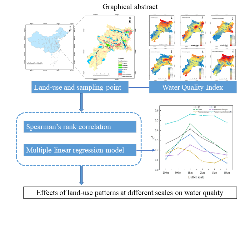
The influence of land-use patterns on water quality in the Huaihe River Basin was analyzed using the Nemerow index, correlation and multiple linear regression analysis based on the measured data from 62 sampling sites in the Huaihe River Basin (China). In the point buffer zone, a significant correlation was observed between land-use patterns at different buffer zone scales and water quality parameters. Cultivated land and construction land are significantly positively correlated with all water quality parameters, while forest land and grassland were negatively correlated with all water quality parameters. The 1km buffer zone exhibited the greatest interpretation of TN, TP, COD, NH+ 4-N and the Nemerow index, while the 500m buffer zone exhibited the greatest interpretation of NO- 3-N. These findings indicate that forest land and grassland were the main land-use types for the interception and consumption of pollutants. While cultivated land and construction land served as ' source of TN, TP, COD, NH+ 4-N and NO- 3-N. These findings show that controlling land-use patterns on a small-scale ( ≤ 1 km ) land-use pattern, especially the proportion of cultivated land and construction land, can be an effective tool for the protection of water quality basin areas.
Keywords : land-use ; spatial scale ; Nemerow index ; correlation ; Huaihe River Basin ;
Total file downloads: 11